Wednesday, November 01, 2006
Cullasaja River Gorge

The Cullasaja Falls are the highlight of the Cullasaja River Gorge. We think that this is one of the most picturesque falls in Western North Carolina.

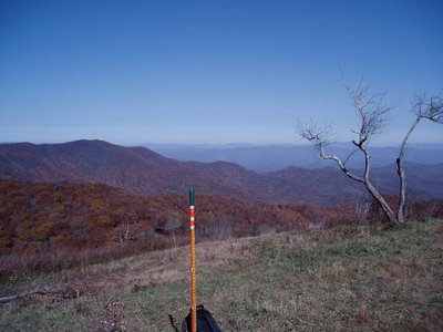
Whiteside Mountain is a little ways east of Highlands, NC just off of US 64. The hike is about a two mile walk, easiest if you go east from the parking lot up the back side of the mountain and then across the ridge on top. The picture at the right is the view that you will see as you reach the top at the east end of the ridge, looking east.

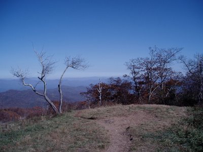
As you proceed west along the ridge trail, you see beautiful views into South Carolina and Georgia. The view at left is one of those looking south. Terrapin Mountain is the highest peak with Coldsides Mountain beyond and to the left. The Chattooga River Valley runs lower in the center.

After we hiked the top of Whiteside, we went down into the Chattooga River Valley to check it out. We picked up Bull Pen Road just east of Highlands and followed it down, down, down into the valley below. Eventually you come to the Chattooga River. There is a little one lane bridge that crosses over the river and the river is pretty.

We took about a three mile hike to Chestnut Mountain which was an easy trail with colorful leaves but no views. When we returned, we went 0.2 mi. from the road up Slick Rock Mountain, steep climb but short. Now we found some photogenic views.

The next morning we left for Wayah Bald in spite of the fact that it was overcast at the campground. When we got in the vicinity of Wayah Gap, the skies had cleared as evidenced by the picture of Wayah Bald at the right.
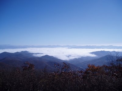
There is about a 10 mile drive up a gravel road to Wayah Bald from Wayah Gap. The entrance to the gravel road is not identified by any signs and we talked to several tourists that missed it. The Appalachin Trail and the Bartram Trail both cross Wayah Bald. You can see to the left where we left the overcast skies. Our campground is somewhere below that white stuff. This is where we ate our lunch!

If you look southwest from Wayah Bald, you can see Siler Bald. When our son Paul hiked the entire length of the Appalachin Trail in 2000, he spent a night at Siler Bald and fell in love with the place. He talked about the view so much that the other hikers with him named him Siler and the name has stuck with him to this day
 So.......... Angie agreed to hang out at the picnic area at Wayah Gap and read, etc. while I hit the Appalachian Trail for Siler Bald. I left the trailhead at 1:00 p.m. and told her that I expected to return between 4:00 & 5:00 p.m. I also told her not to come looking for me until 8:00 p.m. The first part of the trail was pretty steady uphill and did not follow the route that I expected so when it finally levelled off, I stepped out to make time.
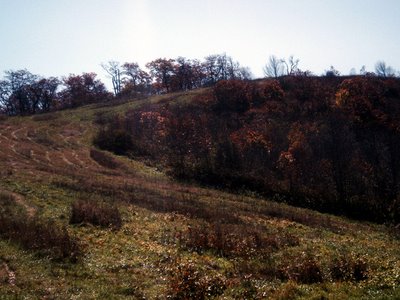
To my surprise, at 2:00 p.m., I walked out into a clearing and was at the foot of Siler Bald! I wasn't there yet as you can see. About a steady uphill trek to the top.
 I did it!
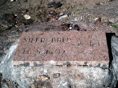
Here's the proof ---------->
The view is definitely fantastic!
360 degrees.
Below are a series of pictures that I took to make a feeble attempt to capture the beauty of it all.
BTW--- I got back to the trailhead at 3:45 p.m. after spending about 45 minutes here.

