Wednesday, November 29, 2006
Late Fall Colors
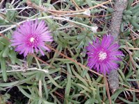
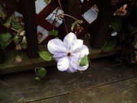
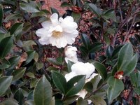
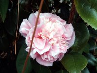
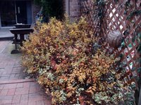
I got to thinkin' today when I was on the patio eating lunch. (Yup, it was 70+ degrees) We still have lots of color in the yard, especially flowers. So, I walked around the yard and took some pictures of the flowers, etc. Even brown is pretty as evidenced by the seedum in the top right picture. The second row down shows a rose against the fall sky, Pyrocantha otherwise known as Firethorn, and probably our last Clematis of the season. The third row shows three different camelias and a fourth one in the first picture in the fourth row. The middle picture in the fourth row is Nandina and the last is Spirea. Finally, the last picture is a "Yuletide" Camelia.
Saturday, November 25, 2006
Carolina Blue Sky

After several days of rain while we wound up a "Nor'easter" to send up to the yankees in NJ, NY, & MA, we had a beautiful day today. The temperature peaked out at about 70 degrees. I washed my truck in the morning, (did Angie's car yesterday) and spent the rest of the day deer hunting about 30 ft. up a tree.
The picture to the right shows my shadow of me sitting in my tree stand taking a picture of my shadow.
The picture to the left is another self portrait of me sitting in the tree stand. I look happy, don't I. That is a camera smile.
The pictures below are three different views from my stand. The day was so beautiful that I had to share it somehow.

Saturday, November 04, 2006
Blooey

I received these pictures from a friend that prove that one can never be too careful. I am told that the owner of the rifle went to the range to sight in the scope on his rifle. He first used a "bore sight" to set the scope. A bore sight is frequently used by firearms dealers and gunsmiths to get a scope aproximately on target so that when you go to the range , you can at least hit the paper. He found the bore sight pictured about 100 yards down range.
 Unfortunately, he forgot to remove the bore sight from the barrel before firing his first test round. We are taught in safety classes that you need to be SURE that your barrel is unobstructed at all times. Even an inch of mud in the bore as a result from falling can cause this disruption.
We can all learn a lesson from this. Do your bore sighting on the work bench at home and keep bore sights off of the firing line. Also, it pays to always wear safety glasses when shooting at the range.
 Fortunately, nobody was injured in this incident.
Wednesday, November 01, 2006
Cullasaja River Gorge

The Cullasaja Falls are the highlight of the Cullasaja River Gorge. We think that this is one of the most picturesque falls in Western North Carolina.

Whiteside Mountain is a little ways east of Highlands, NC just off of US 64. The hike is about a two mile walk, easiest if you go east from the parking lot up the back side of the mountain and then across the ridge on top. The picture at the right is the view that you will see as you reach the top at the east end of the ridge, looking east.

As you proceed west along the ridge trail, you see beautiful views into South Carolina and Georgia. The view at left is one of those looking south. Terrapin Mountain is the highest peak with Coldsides Mountain beyond and to the left. The Chattooga River Valley runs lower in the center.

After we hiked the top of Whiteside, we went down into the Chattooga River Valley to check it out. We picked up Bull Pen Road just east of Highlands and followed it down, down, down into the valley below. Eventually you come to the Chattooga River. There is a little one lane bridge that crosses over the river and the river is pretty.

We took about a three mile hike to Chestnut Mountain which was an easy trail with colorful leaves but no views. When we returned, we went 0.2 mi. from the road up Slick Rock Mountain, steep climb but short. Now we found some photogenic views.

The next morning we left for Wayah Bald in spite of the fact that it was overcast at the campground. When we got in the vicinity of Wayah Gap, the skies had cleared as evidenced by the picture of Wayah Bald at the right.
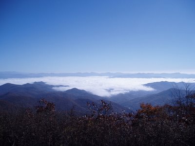
There is about a 10 mile drive up a gravel road to Wayah Bald from Wayah Gap. The entrance to the gravel road is not identified by any signs and we talked to several tourists that missed it. The Appalachin Trail and the Bartram Trail both cross Wayah Bald. You can see to the left where we left the overcast skies. Our campground is somewhere below that white stuff. This is where we ate our lunch!

If you look southwest from Wayah Bald, you can see Siler Bald. When our son Paul hiked the entire length of the Appalachin Trail in 2000, he spent a night at Siler Bald and fell in love with the place. He talked about the view so much that the other hikers with him named him Siler and the name has stuck with him to this day
 So.......... Angie agreed to hang out at the picnic area at Wayah Gap and read, etc. while I hit the Appalachian Trail for Siler Bald. I left the trailhead at 1:00 p.m. and told her that I expected to return between 4:00 & 5:00 p.m. I also told her not to come looking for me until 8:00 p.m. The first part of the trail was pretty steady uphill and did not follow the route that I expected so when it finally levelled off, I stepped out to make time.
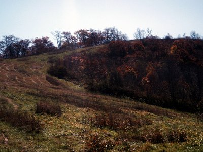
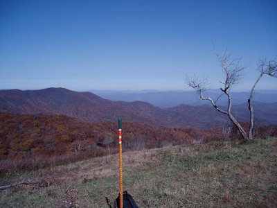
To my surprise, at 2:00 p.m., I walked out into a clearing and was at the foot of Siler Bald! I wasn't there yet as you can see. About a steady uphill trek to the top.
 I did it!
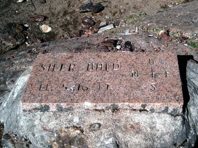
Here's the proof ---------->
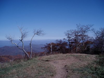
The view is definitely fantastic!
360 degrees.
Below are a series of pictures that I took to make a feeble attempt to capture the beauty of it all.
BTW--- I got back to the trailhead at 3:45 p.m. after spending about 45 minutes here.



Chimney Rock - Lake Lure

Angie liked the view of the river from our Campsite at Hickory Nut Falls Campground. The photo that she took to the left looks up the Rocky Broad River. It was definitely rocky and somewhat broad. It was also noisy! The tremendous power of the water rushing against the huge boulders reminded me of the sound of turbine generators in a power plant.

The first afernoon that we arrived at Chimney Rock - Lake Lure was spent hiking to the top of Chimney Rock and Hickory Nut Falls. Rain was predicted by evening so we went right at it and got it done. To the right is the view, looking east, of part of Lake Lure from Chimney Rock.
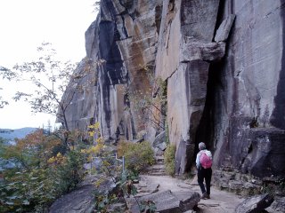
There were beautiful rock formations. You can take aloop hike from Chimney Rock to the top of Hickory Nut Falls. We hiked across the top to the falls and then took the lower trail back as you see in the picture.

The photo to the right is a view from the upper trail looking west up Hickory Nut Gorge.

Of course, there are stairs to be climbed around this place! We lucked out. We came down these stairs after passing through the needle's eye. This is a rather narrow crevasse with stairs going all of the way down. There is definitely a wide load limit going through the needle's eye but those who would exceed it wouldn't have the stamina to walk up here in the first place. Those large people who would take the elevator to the top are advised that it is possible to get stuck up here.

When you hike the upper trail to Hickory Nut Falls, you don't see anything but a lot of water disappearing over the edge. Of course, you are advised to not ride the water down. There is a nice easy trail to the base of the falls that begins at the lower end of the parking lot. It provides a good view of the falls.


